FAO Geolocation collection and communication protocol
In an effort to combat deforestation and promote tools which enhance global monitoring and supply chain traceability, Preferred by Nature and the Food and Agriculture Organization (FAO) have joined forces within the Forest Data Partnership. The primary objective was to establish a standardised geolocation data sharing protocol, a crucial step towards achieving greater transparency in global supply chains.
The Forest Data Partnership aims to halt and reverse forest loss from commodity production by improving global monitoring and supply chain tracking. Within this framework, Preferred by Nature and the Food and Agriculture Organization (FAO) have collaborated to create a protocol for managing geolocation data in global supply chains. This protocol serves as a tool which can support global efforts to improve product traceability and the sharing of sustainability information along commodity supply chains, as well as to meet regulatory requirements such as the EU Deforestation Regulation (EUDR) and other upcoming regulations.
The challenge
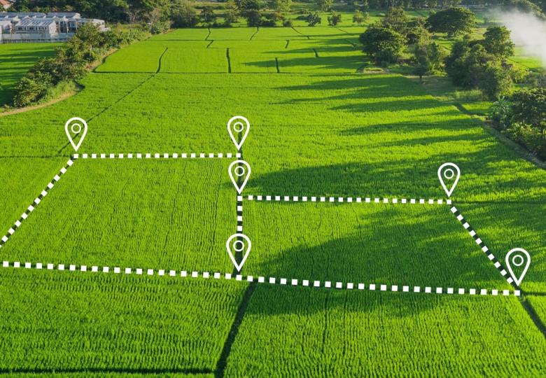
Companies are increasingly required to source their raw materials responsibly, both from market and regulatory frameworks. Better understanding supply chains and product's journey often includes identifying where raw materials are produced. Such geolocation data describes the locations where crops were produced, trees were harvested, or livestock such as cattle were raised. An increasing number of businesses are starting to collect such information, often for the first time, and need the support of appropriate tools to manage and communicate it accordingly.
In addition, for many products, the relevant raw materials (e.g. timber, crops) will have been produced in multiple distinct locations, which means that geospatial data from different sources needs to be aggregated along supply chains, to appropriately reflect the physical transformation of raw materials into final products. To obtain, manage and transmit geospatial data, organisations need to build requirements so that their information systems can handle such tasks.
To improve the exchange of information between companies within supply chains that handle relevant commodities - and facilitate to some extent the aggregation of such information, the project team and stakeholders developed a draft set of digital ‘rules’ in the form of a Protocol, outlining how to receive and transfer geospatial data. The project focused on the following activities:
- The development of the draft standard reference document (Protocol) on the collection and communication of geolocation data across the global supply chain.
- The outreach to key stakeholders to get feedback on the Protocol and initiate a community of interest around its practical use.
Project outputs
As a key output to the project, the first version of the Protocol, including various elements to align processes for sharing geolocation datasets, has been produced. The resulting Geospatial Data Sharing (GDS) Protocol provides a set of limited and essential requirements, focusing on the attaching of data to transactions of physical goods, the employment of unique identifiers, as well as the structuring of data in specific ways and the use of spatial indexing systems.
For more information on the final output, jump to our dedicated webpage:
Development process
The development of the Protocol engaged key stakeholders through the convening of an expert working group (August 2023) as well as conducting a large open consultation process on the consolidated draft version.


Project Details:
Title
Defining a Standardised Approach on the Collection and Communication of Geolocation Coordinates for Deforestation-free Commodity Value Chains
Chloé Viala

Sustainable Management of Small Forest Properties for Resilient Forests in Europe (SMURF)
Europe's forests, crucial for their ecological and economic value, face mounting threats. Climate change fuels extreme weather eve...

Innovation Alliance for Training Programmes for Deforestation-Free Supply Chains in Europe (EMM...
Deforestation is the primarily result of the expansion of agricultural land for forest risk commodities (FRCs) such as cattle, woo...
FAO Geolocation collection and communication protocol
In an effort to combat deforestation and promote tools which enhance global monitoring and supply chain traceability, Preferred by...

Preferred by Nature conducts mid-term evaluation for Sabah Landscapes Programme, Malaysia
Forests are intrinsic to the balance of life in Sabah, Malaysia. However, decades of irresponsible logging and clearance for oil p...